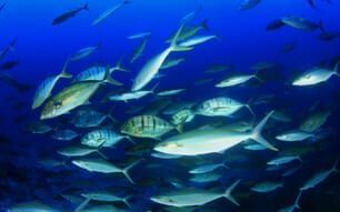
The Mussel Watch Programme will collect additional baseline data on contamination in strategic areas of the Gulf shoreline so that if the oil hits a particular area, new samples can be taken that would reveal the full impact of the spill.
“We are working virtually non-stop to ensure we’re prepared for any scenario,” says Terry McTigue, one of the Mussel Watch researchers. “We have to keep going, making sure we are maintaining the scientific integrity of our samples.”
Oil from the BP spill has a unique chemical “fingerprint” of constituent PAHs and other compounds that should allow Mussel Watch researchers to distinguish contamination from the spill from that coming from other sources.
NOAA has now closed 22 per cent of federal waters in the Gulf of Mexico exclusive economic zone. The closed area now represents 54,096 square miles. Details can be found at http://sero.nmfs.noaa.gov/.
NOAA Update On Gulf Of Mexico Situation
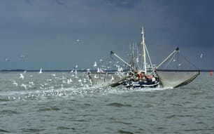
US - Satellite imagery continues to show a very small portion of the oil moving to the South East. The National Oceanic and Atmospheric Administration (NOAA) has mobilised three teams of scientists to test shellfish, sediment and water at 60 locations along the Gulf, from Florida to Texas.